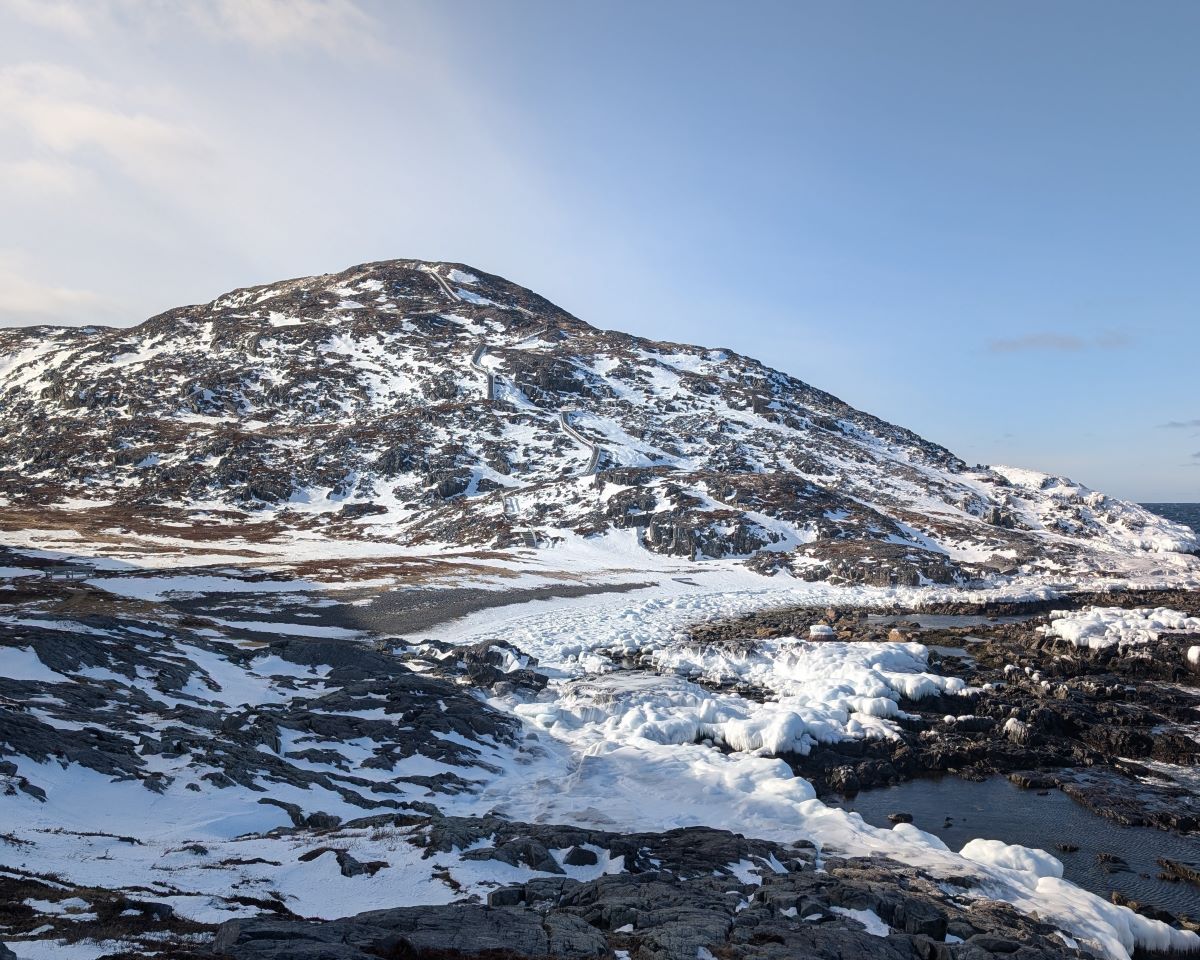
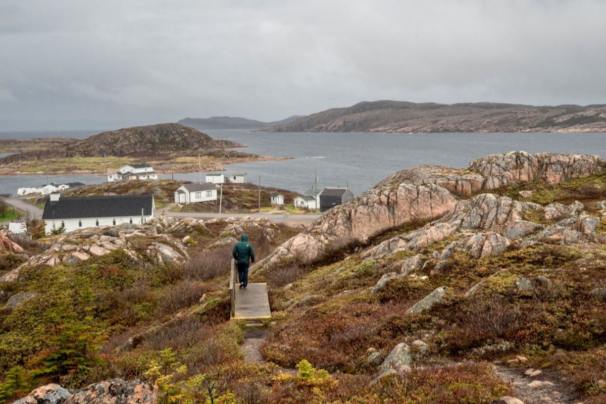
Fogo Island is where the natural world invites reflection, with hiking trails that wind through our forests, rocky coastlines, and storied landscapes.
Hiking here isn’t just about physical activity; it’s a chance to connect with the land, find moments of clarity, and experience a calm that only nature can provide. Whether you seek dramatic views, artistic inspiration, or a quiet moment of solitude, Fogo Island’s trails offer something for every explorer.
Please note, the level of difficulty for these trails is suggested by the Town of Fogo Island.
Brimstone Head Trail, Fogo
2km return, challenging
Brimstone Head Trail is a short but steep climb that rewards hikers with panoramic views of the community of Fogo and the North Atlantic. Starting in Brimstone Head Park, this iconic trail leads to the top of a dramatic headland, known as one of the “four corners of the flat earth” by the Canadian Flat Earth Society.
Hikers can extend the trail by following along the path to Simms’ Beach, which leads into the community of Fogo and back to the main road. Perfect for those short on time but eager for adventure, it’s a must-visit for breathtaking sights and a true sense of place.
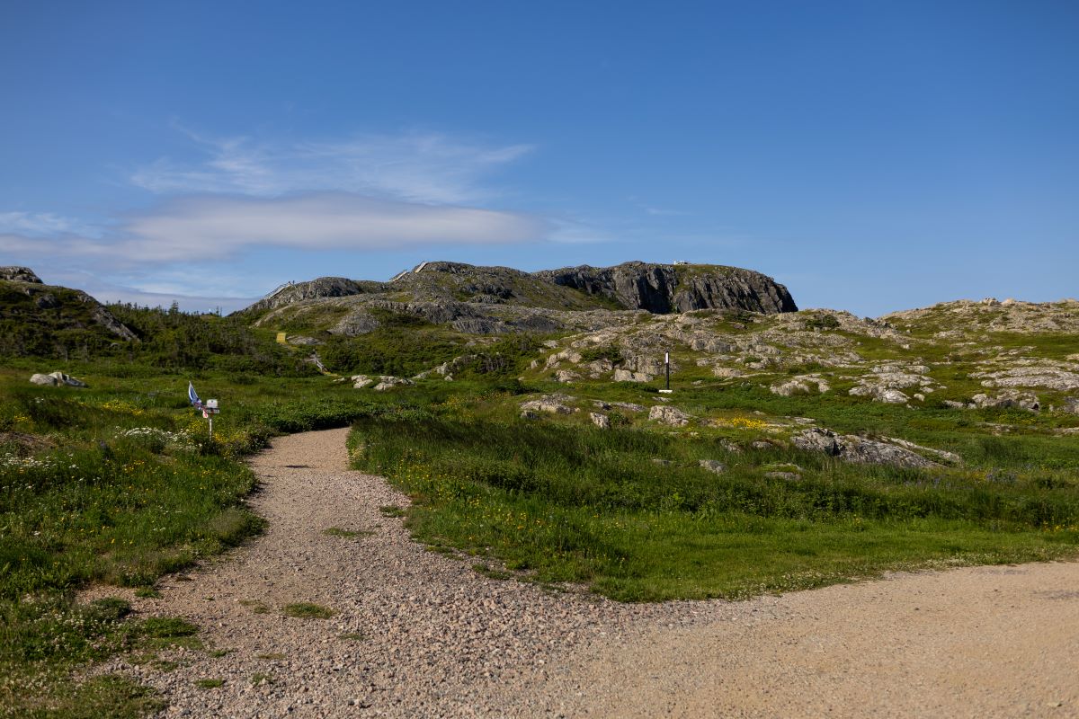
Fogo Head/Western Brook Trail
3.6km return, hard
Fogo Head Trail offers a climb with sweeping views of Fogo, Brimstone Head, and the North Atlantic. Before hitting the trail, hikers will find The Lookout: a small craft shop that features everything from quilts to aprons to placemats, all made by local makers, Dale and Abel Payne.
Beginning with a scenic walk along the shoreline, the trail quickly ascends via wooden staircases and rugged footpaths. Benches along the way provide welcome resting spots before reaching the summit. For those seeking a moderately challenging hike, Fogo Head is well worth the effort.
Lion’s Den Trail
4.2km loop, moderate to hard
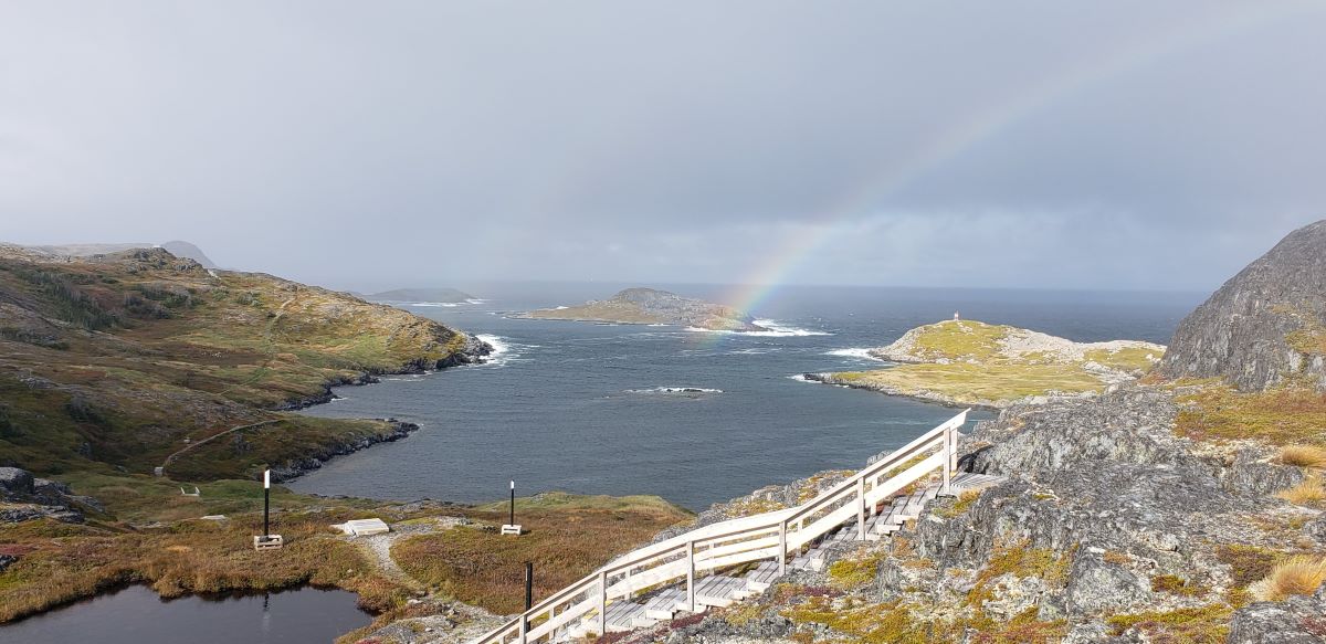
Beginning just behind the Marconi Interpretation Centre, this well-marked trail weaves through history, with interpretive panels sharing stories and photos of the resettled communities that once stood here. A mix of boardwalks and natural footpaths creates a varied and engaging hike. Along the way, three scenic viewpoints—Pilley’s Head, Oakes Hill, and Lane’s Lookout—offer distinct perspectives of land and sea. These optional detours, marked by viewing platforms and interpretive signs, invite you to pause and take in the beauty of Fogo Island’s landscape.
Waterman’s Brook Trail
8.2km return, moderate
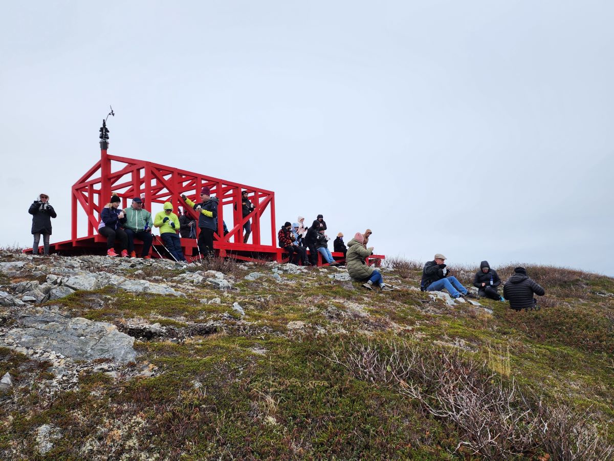
Waterman’s Brook Trail is a gentle yet rewarding walk across stretches of boardwalk, gravel, and dirt paths, weaving through a diverse landscape. Early on, a short footpath leads to the Fogo Island Red Weather Station, where views of Brimstone Head and the coastline invite you to take in the scenery. Conceptualized by Liam Gillick, the Weather Station is an artwork that functions as an operational weather station. It gathers local weather data (that can be viewed in real time) and is a place for education, reflection, and discussion.
From there, the trail winds past quiet ponds and open barrens before descending through boreal forest to a wooden bridge over Waterman’s Brook—a waterfall that tumbles toward the sea. Just beyond, a small beach and picnic area offer a peaceful spot to take in the view of the nearby community of Deep Bay.

Joe Batt’s Point Trail
4.6km return, easy to moderate
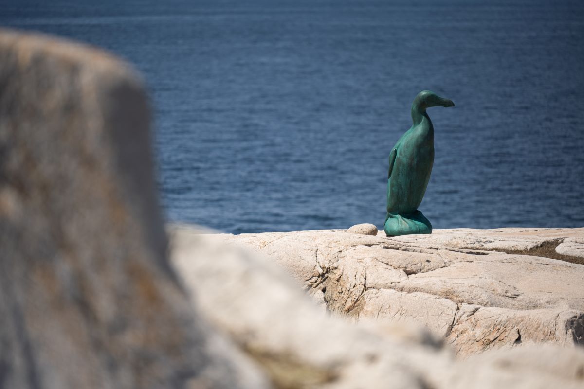
Joe Batt’s Point Trail is a scenic walk along the rugged coastline in Joe Batt’s Arm, with Fogo Island Inn in clear sight across the water. Early on, the trail offers a striking view of Long Studio, one of the island’s four contemporary artist studios. From there, the path meanders over ancient rock formations and along raised beaches—a former beach now lying above water level owing to geological changes since its formation. Picnic spots are plentiful, inviting quiet moments of reflection. At the trail’s end, a two-metre-tall bronze sculpture of the Great Auk stands as a powerful tribute to the now-extinct seabird that once thrived along these shores.

Deep Bay Trail
1km return, easy
Short, but steep, the Deep Bay Trail offers views of the community and Nippard’s Island. Beginning at the wooden staircase, the trail turns to a natural path over bare rocks. At the end of the trail, you’ll find one of four Fogo Island Arts’ studios, designed by architect Todd Saunders: the Bridge Studio. As the only studio that faces a freshwater pond – the others face the temperamental ocean – the Bridge Studio offers a calm space for writers and artists to reflect and ideate.

Turpin’s Trail (eastern and western sides)
7.2km, hard
The eastern section of Turpin’s Trail begins behind the Lane House Museum, winding over a stretch of coastal rock with the striking Squish Studio perched near the first summit. The trail, though well-marked, maintains its natural feel—guided by rock cairns and wooden bridges. At its highest point, the rocky landscape holds the remnants of an American military barracks, offering a sweeping view of the traditional fishing community of Tilting.
From here, the path descends into grassy trails lined with weathered wooden fencing, once used to keep wandering sheep out of gardens. After crossing several small bridges, the trail reaches Sandy Cove Beach—one of the island’s only sandy beaches—an ideal turning point for those hiking the eastern section alone. For those continuing on, the western portion of the trail moves through a quiet boreal forest before opening to a coastal pathway. The trail leads to a small headland with views back towards Tilting and Sandy Cove Beach, before returning along Farm Road.
Plan Your Stay
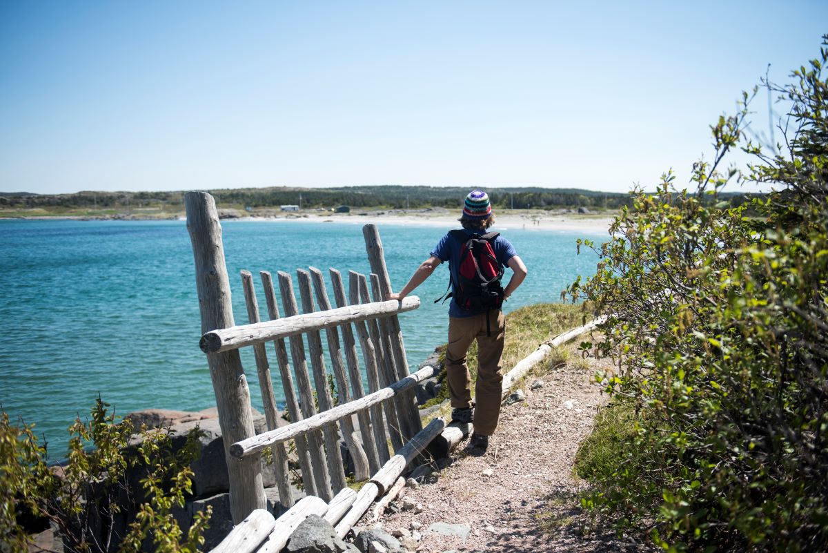
You can explore the trails of Fogo Island during all seasons and most weather. Explore on your own or ask our Guest Itinerary Advisors about ways to enhance your hikes – join an Outdoor Adventure Guide for a foraging experience or plan a traditional boil-up lunch during the trek.